
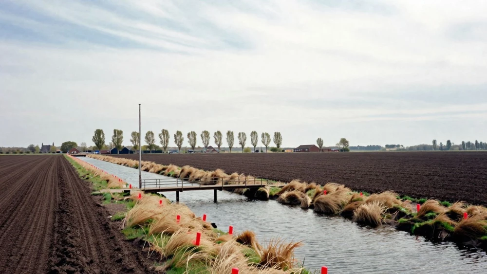
Topographical Surveys
Get in TouchAt Peterborough Surveys, we specialise in providing accurate topographical surveys . Our surveys are essential for land development and planning projects, capturing detailed site information.
We use advanced surveying equipment to ensure precise data collection for architects, engineers, and construction professionals. Our services help identify elevation changes, boundary lines, and existing site features, crucial for property and infrastructure development.
Get in touch to discuss how we can assist with your survey needs.
Book Topographical Surveys Today
How Much Does a Topographical Survey Cost?
Topographical surveys typically cost between £500 and £1,500, depending on the size and complexity of the site. The price is influenced by factors such as site accessibility, level of detail required, and the presence of obstacles like vegetation or water features.
For larger sites or those with significant elevation changes, the use of aerial photogrammetry or LiDAR technology may increase costs, as these methods require specialised equipment and expertise. Additionally, compliance with standards such as RICS (Royal Institution of Chartered Surveyors) guidelines might also impact pricing if specific certification is needed.
We also consider factors such as the need for boundary clarification or integration with existing site plans. We are committed to providing a tailored quote based on your specific project needs.
What Are the Benefits of Topographical Surveys?
Topographical surveys offer numerous benefits for projects. They provide critical data for planning and design, helping to avoid costly mistakes and ensuring compliance with local planning regulations.
By employing advanced technologies such as Total Stations and GPS systems, we offer precise site measurements that capture both natural and man-made features. This precision allows for the identification of potential issues such as flood risks and underground utility lines, which can be vital for residential, commercial, and infrastructure projects.
Accurate site measurements with up to millimetre precision
Identification of potential issues, including soil stability
Comprehensive project planning to minimise risks
Better communication with stakeholders through detailed reports
We also adhere to the latest British Standards and guidelines to ensure the highest reliability in our findings. Contact us to learn more about how our surveys can benefit your project.
Speak to a Topographical Surveys Expert
How Do Topographical Surveys Work?
Our topographical surveys follow a proven process to deliver reliable results for our clients, catering to diverse project types, from residential developments to large-scale commercial schemes.
Initial consultation to understand your project requirements, where we discuss site specifics, timelines, and the scope of the survey needed.
On-site data collection using advanced GPS, total stations, and precise laser scanners to capture accurate measurements of natural and man-made features, ensuring compliance with RICS standards.
Data processing and analysis with sophisticated software like AutoCAD Civil 3D to create detailed topographical maps and reports that include contours, boundaries, and utility locations.
Review and delivery of final survey results, providing an overview for site planning and design purposes.
Our approach ensures that the survey results are accurate and timely, meeting the stringent needs of planners, architects, and engineers.
Why Choose Peterborough Surveys for Topographical Surveys?
At Peterborough Surveys, we are dedicated to providing accurate topographical surveys for a variety of projects, including residential developments, commercial properties, and infrastructure projects. Our experienced team employs advanced equipment such as Robotic Total Stations and GNSS receivers to capture detailed site data efficiently.
We adhere to stringent industry standards like RICS guidelines to ensure the precision and reliability of our findings.
Our services cover a wide range of client needs, from identifying potential constraints to assisting architects and planners with design considerations. We detail elevations, contours, and existing site features, providing crucial information for successful project planning.
With comprehensive project support, from the initial consultation to final report generation in CAD formats, we ensure a process from start to finish. Trust us to be your dependable survey partner.
Frequently Asked Questions
How long does a topographical survey take?
The duration of a topographical survey typically ranges from a few days to a week, depending on site size and complexity.
What can affect the accuracy of a topographical survey?
Factors such as weather conditions, equipment calibration, and site accessibility can impact accuracy. We mitigate these with our experience and equipment.
Do you offer digital versions of the survey results?
Yes, we provide digital copies of the survey results, including CAD files and PDF reports for easy integration into your project workflow.
Is planning permission required before conducting a topographical survey?
No, planning permission is not required to carry out a topographical survey. It is often used to assist with planning applications.
How soon can you conduct a survey?
We aim to schedule surveys within two to three weeks of initial contact, depending on current workload.
Get a Free Quote for Topographical Surveys
Contact us today to arrange your topographical survey. Our team is ready to provide you with an accurate and competitive quotation.