
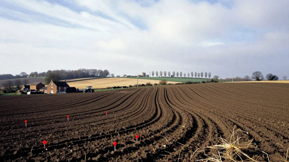
Contour Surveys
Get in TouchAt Peterborough Surveys, we offer detailed contour surveys to deliver precise topographical mapping services. Our surveys play a crucial role in land assessments, helping architects, engineers, and developers plan construction and land use activities.
By using advanced surveying equipment, we provide accurate elevation data and geographical features to support your project's success. Contact us today for a contour survey tailored to your specific needs.
How Much Does a Contour Survey Cost?
Contour surveys typically cost between £500 and £1,500, depending on the size and complexity of the site. Various factors, such as the presence of significant elevation changes, dense vegetation, or existing structures, can influence the pricing.
For instance, properties with steep slopes or considerable variations in elevation often need more time for data collection and analysis, potentially increasing costs.
We employ advanced tools such as total stations and GPS equipment to ensure accurate measurements, adhering to industry standards like RICS (Royal Institution of Chartered Surveyors) guidelines. Additionally, properties with detailed landscaping or water bodies like ponds or streams may require specialised surveying techniques, affecting the overall cost.
Smaller properties might incur lower costs, while large or complex terrains may require more detailed work. For a precise quote tailored to your needs, get in touch with our team for a detailed consultation and pricing.
What Are the Benefits of Contour Surveys?
Contour surveys offer numerous benefits that facilitate construction and development. By using electronic total stations and GPS technology, we capture precise topographical data, ensuring that every undulation and elevation change in the terrain is documented.
This information is crucial for architects and engineers when designing buildings, roads, and drainage systems.
Accurate Planning: Provides vital data for effective land use and infrastructure planning. Detailed contour maps assist in visualising site layout and integration with existing structures.
Risk Mitigation: Identifies potential challenges in terrain before construction starts, such as slopes or flood-prone areas, allowing for proactive solutions.
Cost-Efficiency: Prevents rework by addressing site issues early, reducing the likelihood of costly excavation errors.
Environmental Analysis: Supports environmental assessments by detailing natural features, which is essential for projects requiring Environmental Impact Assessments in compliance with local regulations.
Let us enhance your project with our reliable contour surveys.
How Does a Contour Survey Work?
Our contour survey process is streamlined to provide reliable data:
Initial Consultation: We discuss your project requirements and gather preliminary information.
Site Visit: Our surveyors use equipment such as GPS and total stations to collect precise data on site elevations and features.
Data Processing: Collected data is processed using specialised software to create detailed maps and reports.
Report Delivery: We provide reports and graphical representations for your project planning.
Reach out to our experts to understand how our process can benefit your upcoming project.
How Long Does a Contour Survey Take?
Completing a contour survey generally takes one to three days, depending on the site's size and complexity. Factors such as topographical variations and vegetation coverage can influence the duration.
We use advanced Total Stations and GPS technology to ensure precise measurements, adapting our methods to handle challenging terrains. Our experienced surveyors carefully assess each site, aligning with standard practices like BS 5930 for ground investigations.
Data processing and report generation take an additional two to four days. This stage involves converting raw data into detailed 3D terrain models and topographic maps, vital for planning and development purposes.
For urgent projects, we offer expedited services to meet your timeline, often reducing turnaround times without compromising accuracy.
Contact us to discuss your scheduling needs, and we will tailor a solution to fit your project requirements.
Speak to a Contour Surveys Expert
Why Choose Peterborough Surveys for Contour Surveys?
Choosing Peterborough Surveys for contour surveys ensures accuracy and professionalism. Our team uses advanced tools, such as robotic total stations and GPS equipment, to deliver precise mapping services.
We adhere to industry standards like the RICS (Royal Institution of Chartered Surveyors) guidelines, ensuring each survey maintains the highest level of precision. Our detailed contour maps can aid architects in planning developments considering natural land undulations and drainage patterns.
We provide services to a wide range of clients, from individual landowners to large construction firms, adjusting each survey to align with specific project requirements. Typically, our survey reports include details on slope gradients and height variations, presented in CAD formats for easy integration into your designs.
Whether planning a residential development or a commercial complex, our surveys are reliable and comprehensive, helping you make informed decisions. Partner with us for surveys that effectively meet your project demands.
Frequently Asked Questions
How do I maintain the data from a contour survey?
Once obtained, contour survey data should be stored digitally and backed up regularly. We can assist with ongoing support and updates as needed.
How accurate are your contour surveys?
Our contour surveys typically offer accuracy within a few centimetres, ensuring reliable data for your project's needs.
What geographical areas do you cover?
We conduct contour surveys and are equipped to handle various terrains and site complexities.
Can contour surveys be used for environmental assessments?
Yes, our contour surveys provide detailed information about natural features, aiding in comprehensive environmental assessments.
How do I book a contour survey?
Simply contact us today to arrange your contour survey. Our team will guide you through the booking process and address any questions.
Get a Free Quote for Contour Surveys
Ready to start your project with an accurate contour survey? Get started by contacting our team.
We are here to support your surveying needs with precision and expertise.