
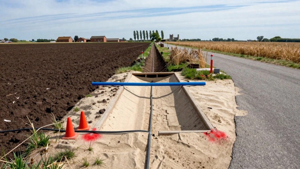
PAS 128 Surveys
Get in TouchAt Peterborough Surveys, we specialise in conducting PAS 128 Surveys . PAS 128 Surveys are essential for accurately identifying the location and characteristics of underground utilities.
These surveys are crucial for construction and development projects, ensuring compliance and safety. Our team uses advanced technology, like ground-penetrating radar and electromagnetic locators, to deliver precise results.
Whether you need a survey for a residential, commercial, or industrial project, we’ve got you covered. Contact us today to arrange your PAS 128 Survey.
How Much Does a PAS 128 Survey Cost?
PAS 128 Surveys typically cost around £1,200 to £2,500 depending on site size and complexity. Factors influencing the price include the area to be surveyed, the level of detail required, and specific site conditions.
We assess these conditions using electromagnetic detection, ground penetrating radar (GPR), and CCTV inspection to provide an understanding of subsurface utilities. Each survey also adheres to PAS 128 standards, ensuring accurate results.
Our rigorous process considers terrain type, access constraints, and existing utility records. By providing a detailed and accurate assessment of utility locations, our surveys help avoid costly mistakes during construction.
Every survey includes a thorough site analysis, data collection, and detailed reporting. Request a free quote from our team to get started.
What Are the Types of PAS 128 Surveys Available?
There are four types of PAS 128 Surveys available, each suitable for different project needs and levels of accuracy. Primarily, these help in assessing and managing underground utilities, which is crucial for planning and safety compliance.
The surveys also adhere to the standards set by the British Standards Institution (BSI) to ensure consistent quality.
Detection Method M1: Desktop utility record search for preliminary information and a broad overview of existing records from utility companies. This provides a foundational understanding without any physical site presence.
Detection Method M2: Site reconnaissance to verify and supplement desktop data. It involves visiting the site to visually inspect and gather information to cross-check against desktop data.
Detection Method M3: Physical site survey using non-intrusive methods, such as Ground Penetrating Radar (GPR) and Electromagnetic Location (EML), to map underground utilities without disturbing the surface.
Detection Method M4: Intrusive survey to confirm the precise location of utilities, involving activities like trial holes or vacuum excavation to physically uncover utilities for verification.
These surveys are vital for various construction, renovation, or excavation projects, making them indispensable for developers, engineers, and contractors. Contact us to discuss which type suits your project's requirements.
How Long Does a PAS 128 Survey Take?
A typical PAS 128 Survey takes between two to five days to complete, depending on the project's scope and requirements. The survey process involves several critical steps: initial site reconnaissance, detailed on-site utility detection using methods such as electromagnetics and ground-penetrating radar (GPR), and data verification.
For large or complex sites with extensive underground utilities, additional time may be necessary to ensure comprehensive coverage. We adhere to the PAS 128 specification for utility detection, which defines four different survey types and ensures precise mapping.
The timeframe also considers the data analysis phase, where our team meticulously processes the collected data to produce a detailed report. This report includes utility positions, depths, and related findings.
By allowing sufficient time for a thorough survey, we ensure complete accuracy and results that clients can trust.
What Are the Benefits of PAS 128 Surveys?
PAS 128 Surveys offer numerous benefits for property and construction projects of various scales and types. Our surveys use a combination of electromagnetic location (EML) and ground-penetrating radar (GPR) techniques, enabling precise identification and mapping of underground utilities like water pipes, gas lines, and communication cables.
This precision is crucial for urban developers and civil engineers seeking to mitigate potential hazards during excavation work.
Accurate Utility Mapping: Identifies underground utilities with precision, ensuring accurate data collection for engineering designs.
Improved Safety: Reduces the risk of utility strikes during construction, protecting workers and equipment.
Regulatory Compliance: Ensures adherence to industry standards, meeting the specifications outlined in the British Standards Institute's PAS 128.
Cost Savings: Minimises project delays and additional costs by preventing damage that can lead to significant repair bills and downtime.
Feel free to reach out if you have any questions about the benefits of PAS 128 Surveys for your project.
Why Choose Peterborough Surveys for PAS 128 Surveys?
At Peterborough Surveys, we are committed to providing reliable PAS 128 Surveys . As part of our service, we use ground-penetrating radar (GPR) and electromagnetic location (EML) techniques to accurately identify and map underground utilities.
Our skilled team employs equipment meeting BS EN 50234 standards to ensure precise utility mapping, helping avoid costly errors and project delays. We also use high-definition GPS technology to provide detailed and geo-referenced data reports.
Our attention to detail and excellent customer service mean we tailor our surveys for diverse clients, from construction companies to local councils with varied project scopes. Choosing us ensures your project's safety and regulatory compliance.
Get in touch to experience our efficient and effective survey solutions.
Speak to a PAS 128 Surveys Expert
Frequently Asked Questions
How do I maintain the records from a PAS 128 Survey?
After receiving your PAS 128 Survey report, it's important to keep the documents in an accessible and secure digital format. This way, they can be easily referenced for future projects or maintenance.
How can I prepare for a PAS 128 Survey?
Preparing for a PAS 128 Survey involves ensuring site access, clearing obstructions, and having relevant utility records available. Our team will provide specific guidance based on your survey requirements.
Are PAS 128 Surveys mandatory for all projects?
PAS 128 Surveys are not legally mandatory but are considered best practice for any construction or development project involving groundworks where utility location knowledge is crucial.
Can PAS 128 Surveys detect all types of utilities?
Yes, our PAS 128 Surveys are designed to detect a wide range of underground utilities, including gas, water, electricity, and telecommunications. However, detection accuracy may vary based on site conditions.
Get a Free Quote for PAS 128 Surveys
Contact Peterborough Surveys today to arrange your PAS 128 Survey. Our team is ready to assist with any questions or to provide a detailed quote.