
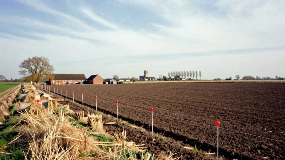
Land Surveys
Get in TouchAt Peterborough Surveys, we specialise in providing detailed land surveys . Our services cover topographical surveys, boundary surveys, and construction staking, ensuring precise measurements and data are gathered for your project.
Land surveys help property developers, architects, and engineers make informed decisions, and we use the latest surveying equipment to ensure accuracy. Contact us today to discuss your land survey needs.
How Much Does a Land Survey Cost?
Land surveys typically cost between £300 and £1,000, depending on the size and complexity of the project. Factors such as terrain, access to the site, and the type of survey required can influence the final price.
For example, topographical surveys, which detail natural and human-made features, or boundary surveys, which establish property lines, may have different pricing based on their requirements. The equipment used, such as total stations and GPS systems, can also impact cost due to their specific functionalities in detailed measurements.
Access challenges, like dense vegetation or restricted urban areas, can increase the time required. All our land surveys comply with the RICS standards for accuracy and detail.
At Peterborough Surveys, we provide clear, competitive quotes tailored to your specific needs. For a more accurate estimate, contact us for a consultation.
What Types of Land Surveys Are Available?
We offer a variety of land surveys to suit different requirements, using industry-standard equipment and techniques to ensure accurate results:
Topographical Surveys: Detailed mapping of the land's surface features and contours, essential for architects and engineers during the design phase. Using laser scanning and GPS technology, we provide a representation of the terrain.
Boundary Surveys: Precisely defining property lines, these are crucial for legal purposes and resolving potential disputes. We adhere to RICS standards to ensure all boundaries are correctly identified.
Construction Staking: Guiding construction workers and ensuring buildings are located correctly by marking out key reference points on the site. This survey type helps to prevent costly errors during the build.
ALTA/NSPS Surveys: Meeting national standards for commercial properties, these surveys provide detailed information regarding the property's boundaries, improvements, addresses, and zoning classifications.
Subdivision Surveys: Dividing land into plots for development, ensuring compliance with local planning regulations. This survey is vital for developers aiming to create residential or commercial projects.
Each type is carried out with precision to support your project requirements, ensuring smooth development and adherence to relevant regulations. Contact us to discuss your specific needs.
How Long Does a Land Survey Take?
A typical land survey can take one to two days to complete, depending on the survey's size and complexity. Factors such as adverse weather conditions and accessibility can also affect the timeline.
We use advanced surveying equipment such as total stations and GPS technology to ensure precision. For larger or more intricate properties, like commercial or industrial sites, the process might extend to three days or more.
Once the fieldwork is complete, data analysis and report generation may require additional time. This involves using specialised software like AutoCAD or GIS systems to produce detailed plans and maps.
Our clients, ranging from private homeowners to developers, can expect comprehensive conclusions to support their planning and development needs.
How Do I Maintain Survey Markers?
Survey markers are vital for identifying property boundaries, and proper maintenance is crucial to preserve their accuracy. To maintain them, avoid moving or removing any markers.
Always report any damage to them immediately, as shifting or missing markers can lead to boundary disputes. Regular inspections every few years can help ensure that boundary lines remain clear and markers are intact.
We recommend using equipment such as GPS devices or theodolites for accurate tracking during inspections. These devices can help determine if markers have shifted from their original positions due to weather, erosion, or construction activities.
If any discrepancies are noted, we can perform re-surveying using total stations for precise measurements and adjustments. For advice and re-surveying services, contact Peterborough Surveys.
Why Choose Peterborough Surveys for Land Surveys?
Choosing Peterborough Surveys means benefiting from our expertise, precision, and use of the latest equipment such as Total Stations and GPS receivers for accurate land surveying. We adhere to industry standards like RICS guidelines and ISO certifications, ensuring our work meets professional benchmarks for quality.
Our team is experienced in handling a variety of survey types, from boundary determination to detailed topographical mapping. We cater to diverse projects, including residential developments, commercial properties, and infrastructure planning.
We also conduct surveys for flood risk assessments, using laser scanning technology to model terrain features. With our prompt project timelines, we provide thorough and dependable survey data.
Reach out today to learn how we can assist with your surveying needs .
Speak to a Land Surveys Expert
Frequently Asked Questions
What is included in the price of a land survey?
A typical land survey price covers the initial consultation, fieldwork, analysis, and a detailed survey report. Additional services, such as legal document preparation, may incur extra costs.
How can I schedule a land survey?
To schedule a land survey, simply contact Peterborough Surveys via our website or phone. We will arrange a convenient date to assess your site and discuss your needs.
Are your land surveys compliant with UK regulations?
Yes, our surveys adhere to UK regulations and meet the standards set by the Royal Institution of Chartered Surveyors (RICS) for accuracy and reliability.
Get a Free Quote for Land Surveys
Contact Peterborough Surveys today to arrange a professional land survey.